

Flat city, big sky, real seasons. Christchurch sits between the Southern Alps and the Pacific on the Canterbury Plains — and that geography explains almost everything about how it feels to live here.
The shape of the place
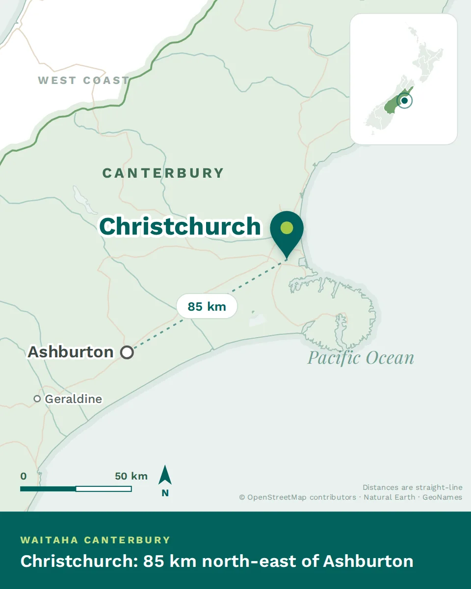
Imagine a grid laid on a plain, with a river running through it, hills at the southern edge and the sea to the east. That is the whole city in one sentence, and it is why Christchurch is so much easier to navigate than either Auckland or Wellington.
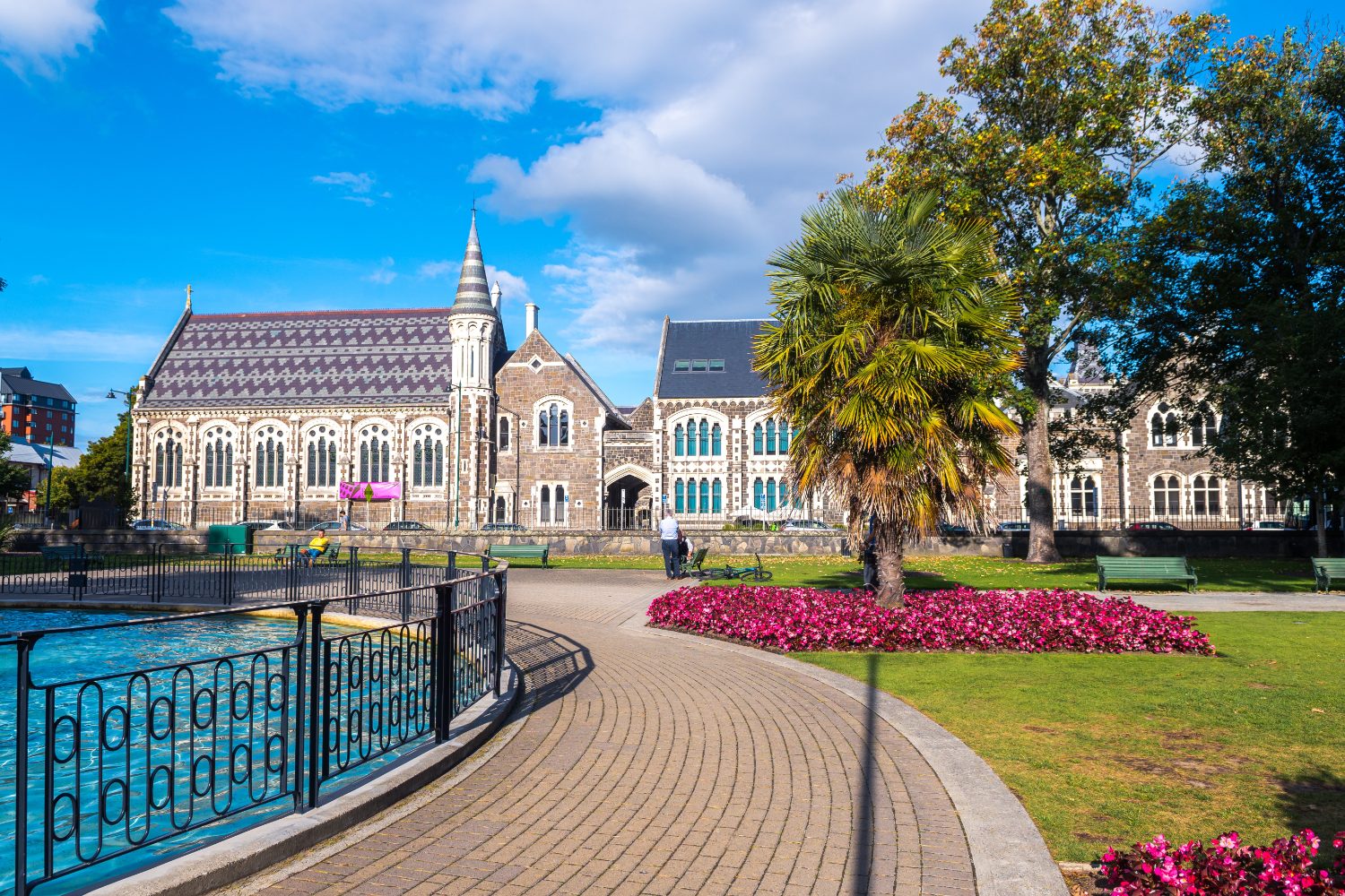
Four real seasons
Christchurch has the most continental climate of New Zealand’s main centres — drier than the North Island, colder in winter, hotter in summer, and far more clearly divided into seasons than anywhere else you are likely to be offered a job.
| Season | Typical daytime |
|---|---|
| Summer — December to February | 22–24°C, dry, often 30°C+ on nor’west days |
| Autumn — March to May | 16–19°C, settled and clear, the local favourite |
| Winter — June to August | 10–12°C, frosty mornings, still air, bright afternoons |
| Spring — September to November | 15–18°C, changeable, the windiest stretch |
Two things surprise arrivals. The first is how cold a clear winter morning is — frost on the car is routine from June, and the temperature can sit below zero until mid-morning. The second is how pleasant those days then become: still, bright and cloudless, in a way a Wellington or Auckland winter rarely manages.
The nor’wester
A hot, dry wind that forms when moist air off the Tasman is forced over the Southern Alps, dumps its rain on the West Coast, and arrives on the plains warm and desiccated. It shows up as a distinctive arch of cloud over the mountains.
Locals blame it for headaches, restless children and general bad temper, and they are not entirely joking. It blows a few times a month, mostly in spring and summer, and it is the one piece of Christchurch weather you should know about before you arrive.
The ground
Christchurch sits near an active fault system, and the 2010–11 earthquake sequence reshaped the city. What that means practically, in 2026:
- A large proportion of housing and nearly all of the central city is post-2011, built to current standards. New construction here is among the most earthquake-resilient in the world.
- Land in parts of the east was damaged by liquefaction and is now designated residential red zone — largely returned to open space along the river.
- If you buy, get an engineer’s report and check the insurance and repair history. This is standard local practice, not paranoia.
- If you rent, this mostly does not affect you, beyond a housing stock that is warmer and drier than the national average.
- Small earthquakes are occasionally felt. Most residents no longer notice them.
Getting in and out
Christchurch Airport is the South Island’s main hub, ten to fifteen minutes from most of the city. Domestic connections are frequent and cheap; there are direct international flights to Australia, the Pacific and Singapore. Anything further generally means one connection.
By road, the city is the gateway to the South Island — Kaikōura and the whale coast north, Arthur’s Pass and the West Coast west, Tekapo and the lakes south. The TranzAlpine, which crosses the Alps to Greymouth, leaves from the city and is one of the great train journeys anywhere.
- Flat, gridded and wrapped around a river, with the Port Hills to the south and the Alps on the horizon.
- Four real seasons — dry warm summers and cold clear winters with frequent frosts. This is not a subtropical climate.
- Post-rebuild housing handles the cold well, but check insulation and glazing before you sign anything.