The reason people move here. Twenty-odd kilometres of unbroken ocean beach, a volcanic cone at the end of it, bush-covered ranges behind, and the geothermal plateau an hour inland. Most of it is free and most of it is fifteen minutes from your front door.
How close it all is
Driving times from Tauranga and the Mount, to scale against each other. The marked row is the point of this chapter: the everyday coast sits inside a quarter of an hour, and everything else works outward from it.
The ocean beach & MauaoThe base track, the surf and the hot pools — the after-work landscape
~15 min
The Kaimai RangeGreen walking country, the coolest place in the region on a hot day
~30 min
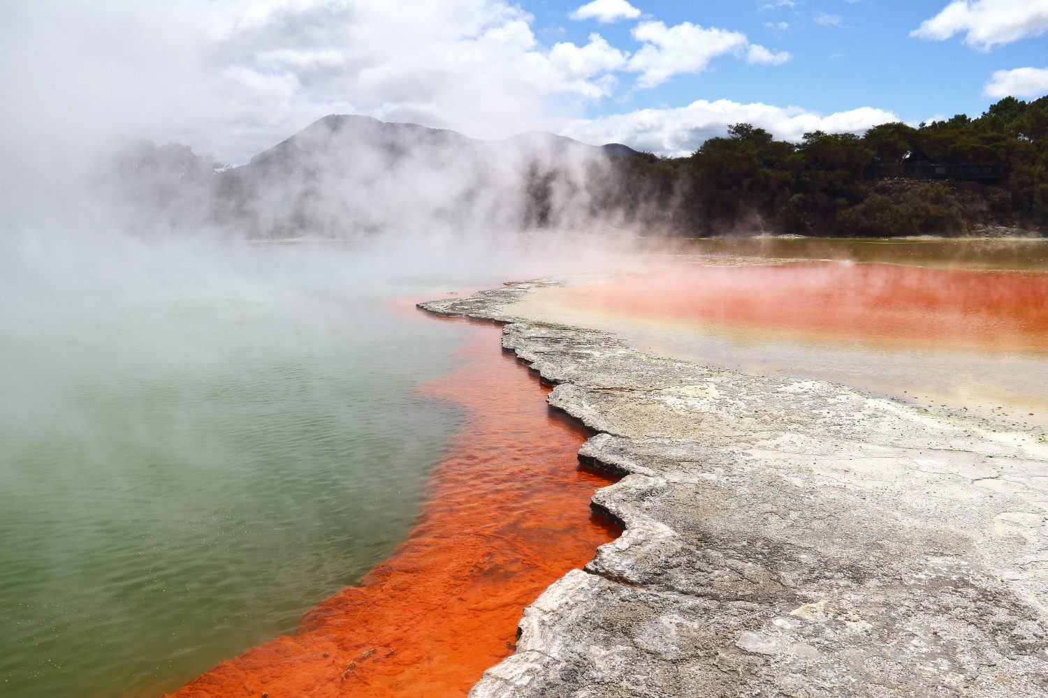
RotoruaGeothermal country and the mountain biking people fly in for — close enough for a long evening
~1 hour
Ōhope & the eastern bayThe quiet end of the coast, past Whakatāne
~1 hr 20
Indicative driving times. The Coromandel, Taupō and Waitomo sit a comfortable weekend beyond this chart, not a day trip.
Mauao
The cone at the harbour mouth is the region’s landmark and its daily ritual. The base track is a flat, sealed loop of about three and a half kilometres, right at the water’s edge, and at any hour of daylight it is full of people walking, running and pushing buggies. The summit track climbs steeply for around forty minutes and the view from the top — ocean one side, harbour the other, the whole coast running away east — is the picture that sells this region.
It is also a maunga of real significance to Tauranga Moana. You are welcome on it; treat it accordingly.
The water
The ocean beach
One continuous stretch of sand from the foot of Mauao through Mount Maunganui and Pāpāmoa to the east. Patrolled in summer, surfable most of the year, and long enough that you can always find space.
Surf
Consistent, accessible and well served by schools and shops. This is one of the easiest places in New Zealand to learn.
Ōhope
Out east near Whakatāne, and regularly voted one of the country’s favourite beaches. Worth the drive.
The harbour
Sheltered water for sailing, kayaking, paddleboarding and small boats. Boat ownership is common and far more affordable than you’d expect.
The Mount Hot Pools
Saltwater hot pools at the foot of the maunga. The correct end to a cold winter walk.
Fishing & kai moana
Snapper and kahawai off this coast, shellfish on the rocks. Rules on size and quantity are real — check before you gather.
Inland and upward
The Pāpāmoa Hills
A short, steep climb behind the coast with a pā site at the top and a view over the whole bay. An hour, start to finish.
The Kaimai Range
Bush tracks, waterfalls and swing bridges half an hour from the city, and cool green shade in the middle of summer.
Rotorua, one hour
Geysers, hot springs, redwood forest and some of the best mountain biking anywhere in the world. Close enough to go after work in the long evenings.
The Karangahake Gorge
North-west towards the Coromandel — old gold-mining tunnels, a river walk and one of the region’s best day trips.
The eastern bay
Whakatāne, Ōhope and the road east towards Ōpōtiki and the Cape. Emptier with every kilometre, and beautiful.
Further afield
The Coromandel, Lake Taupō, Waitomo and Gisborne are all a comfortable weekend. The volcanic plateau and the central mountains are half a day.
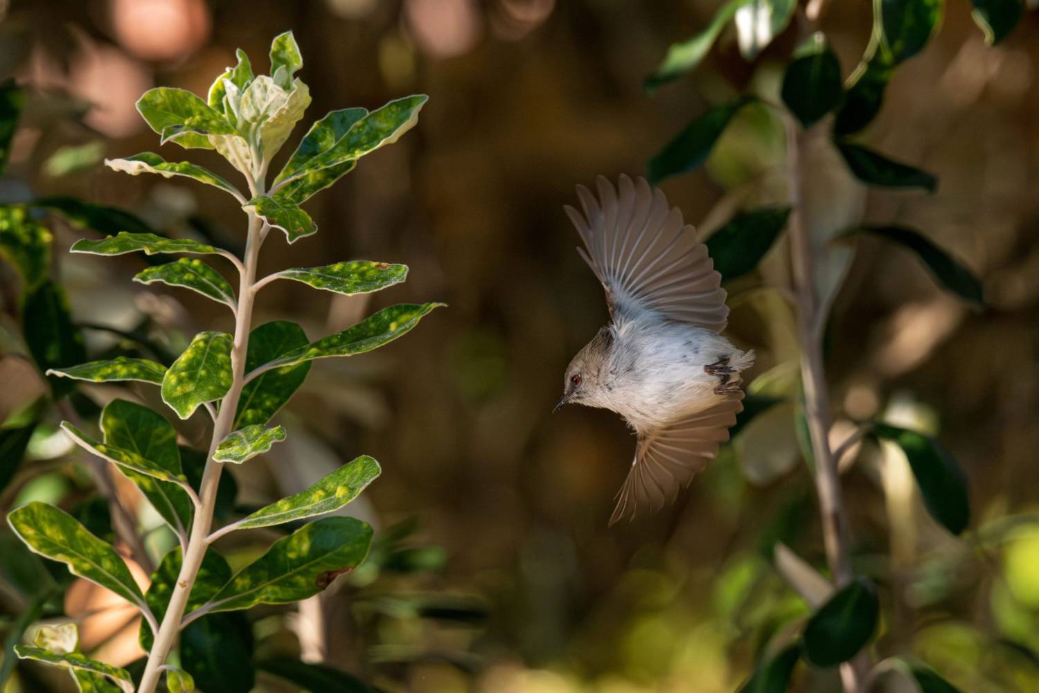
Pīwakawaka in the region’s bush reservesGeothermal country, an hour inland
A note on Whakaari
On a clear day you can see Whakaari | White Island steaming forty-eight kilometres offshore. The 2019 eruption there killed twenty-two people, many of them visitors, and it is deeply felt in this region — particularly in Whakatāne, from where the tours departed.
There are no landing tours. It is a place spoken about with care here, and worth knowing that before you raise it in conversation.
Nine chapters on the Bay of Plenty. Everything national — visas, registration, tax, renting, driving, schools, te ao Māori — lives in Moving to New Zealand. When you’re ready to look at roles, see what’s open now.