

A harbour in a drowned river valley, ringed by hills, sitting on a plate boundary at the windiest point in the country. The geography explains almost everything about this city.
Everything here is explained by the hills and the strait
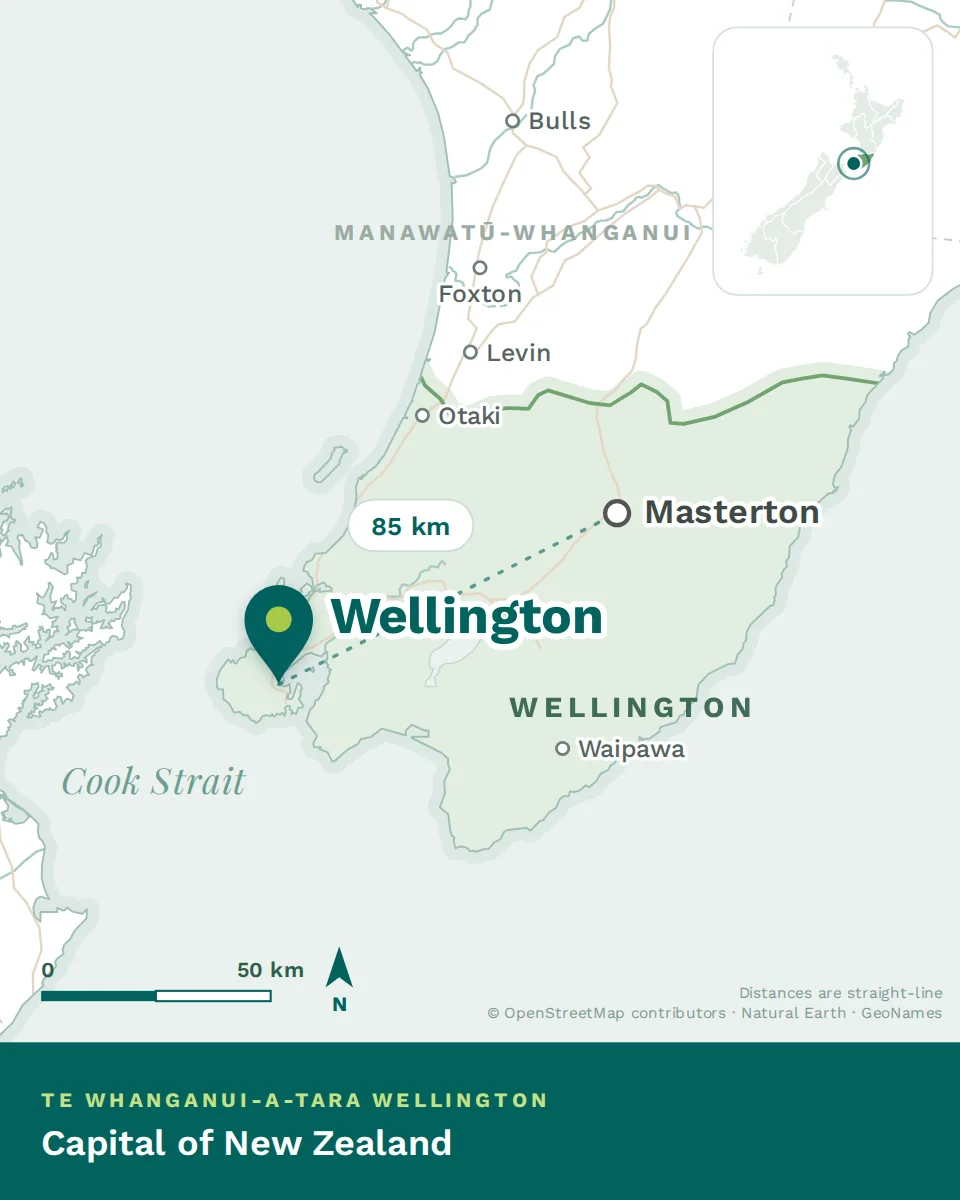
Wellington sits at the southern tip of the North Island, on a harbour formed when a river valley flooded. Steep hills rise directly from the water on three sides, and Cook Strait — a forty-kilometre gap between two mountainous islands — opens to the south.
That single arrangement produces the compact walkable centre, the houses stacked up hillsides with a hundred steps to the door, the absence of motorways through town, the four rail lines threading up the only flat corridors, and the wind. Understand the geography and the rest of this guide reads as consequence.
- The harbour
- A deep natural port that made the city and still runs it. Oriental Bay for swimming, the waterfront promenade for walking, Matiu / Somes Island in the middle.
- The town belt
- A ring of protected bush and open land encircling the inner city, set aside in the 1840s. It’s why a capital city has native forest fifteen minutes from most front doors.
- The south coast
- Wild, exposed and facing Antarctica. Lyall Bay for surf, Island Bay for families, Red Rocks for a seal colony an hour’s walk from the road end.
- Two valleys north
- The Hutt Valley and the western corridor to Porirua — the only flat land in the region, which is where the rail lines, the motorways and most of the family housing went.
"Wellington" means four quite different places
People say Wellington and mean the city. The region is larger, and which part you live in changes your rent, your commute and your weekends considerably.
Same salary in all four. What changes is your rent, your commute and what you do on a Saturday — which is the whole decision, compressed into one chart.
Rail and road times to the central city at peak. Off-peak is quicker; a southerly is not.
Mild, changeable, and windier than anywhere you’ve lived
The temperature range here is narrow. Winters rarely freeze and summers rarely get properly hot — a mean around thirteen degrees, and a good summer day in the low twenties. If you’re coming from northern Europe the winters will feel mild; from the Middle East or India, the summers will feel cool.
The wind is the real story. Cook Strait funnels air between two mountain ranges, and Wellington sits in the gap.
see gusts above sixty-three kilometres an hour. It isn’t constant — there are still, golden days that are among the best anywhere — but it’s frequent enough to shape how people dress, where they park and which side of the harbour they choose to live on.
- The northerly is warm, blustery and persistent.
- The southerly comes off Antarctica, drops the temperature several degrees within an hour, and closes the airport.
- Locals check which one is coming the way people elsewhere check rain.
The best of it. Long evenings, swimming at Oriental Bay, and the northerly rather than the southerly. Still not reliably hot — bring a jumper to a January barbecue.
Often the finest weather of the year — settled, warm, calmer than summer. Locals will tell you autumn is when Wellington is at its best, and they’re right.
Wet, windy and dark by half past five. The houses matter more than the forecast — see Renting in New Zealand for what to check at a viewing.
Changeable and blustery, with the first properly good days arriving in October. Spring here is a negotiation rather than a season.
A mean around thirteen degrees, and a good summer day in the low twenties. From northern Europe the winters will feel mild; from the Middle East or India, the summers will feel cool.
The fault line, plainly
Wellington sits on a plate boundary and everyone knows it. You’ll feel small earthquakes; most people stop noticing within a year.
- Buildings are engineered for it, and the standards are among the strictest anywhere. Newer and strengthened buildings are safe.
- Ask about a building’s seismic rating when you rent or buy — it’s a normal question here, not a rude one.
- Sort a grab bag and stored water in week one, then stop thinking about it. That’s what locals do.
Whose place this is
Te Whanganui-a-Tara — the great harbour of Tara. Taranaki Whānui and Ngāti Toa Rangatira are the mana whenua of the region, and both are visible in the city’s institutions, place names and the way the health service works.
You’ll hear te reo daily, in meetings and on signage. What that means at work — pronunciation, the words you’ll hear on the ward, Te Tiriti and marae etiquette — is national, and covered in Te ao Māori at work.