
Perth’s housing decision comes down to one question: how close to the ocean do you need to be? The sea breeze, the beach and the sunset are what people move here for, and they are priced accordingly. Everything else is a variation on that theme.

On the map
The coast
- Cottesloe
- Swanbourne
- City Beach
- Scarborough
- Trigg
- Sorrento
- Hillarys
River belt & inner north
- South Perth
- Applecross
- Como
- Nedlands
- Claremont
- Subiaco
- Mount Lawley
- Highgate
- Leederville
- North Perth
Fremantle & the south
- Fremantle
- South Fremantle
- Beaconsfield
- White Gum Valley
- Coogee
- Rockingham
The hills
- Kalamunda
- Mundaring
Parks & natureBeachesLandmarks
Shaded areas are the suburbs named in this chapter. Arrows point to places beyond the map edge, with the straight-line distance from the city centre.
The coast
Cottesloe, Swanbourne and City Beach are the established western-suburbs addresses: white sand at the end of the street, the Fremantle Doctor first, and prices to match. North through Scarborough, Trigg and Sorrento the same coast becomes more affordable and more family-shaped, with newer housing and surf-lifesaving clubs. This is where a great many clinicians end up, and where a twenty-minute drive to a tertiary campus is normal.
The river belt and the inner north
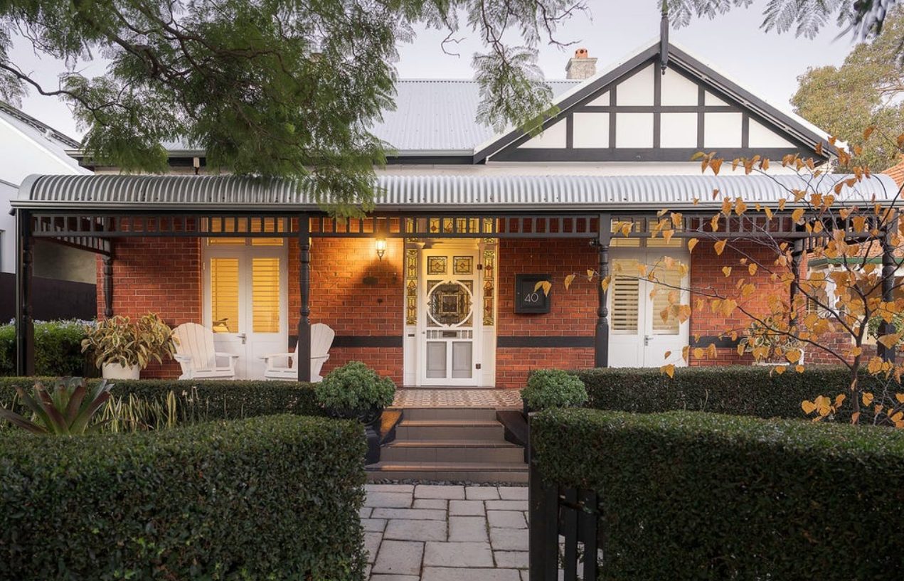
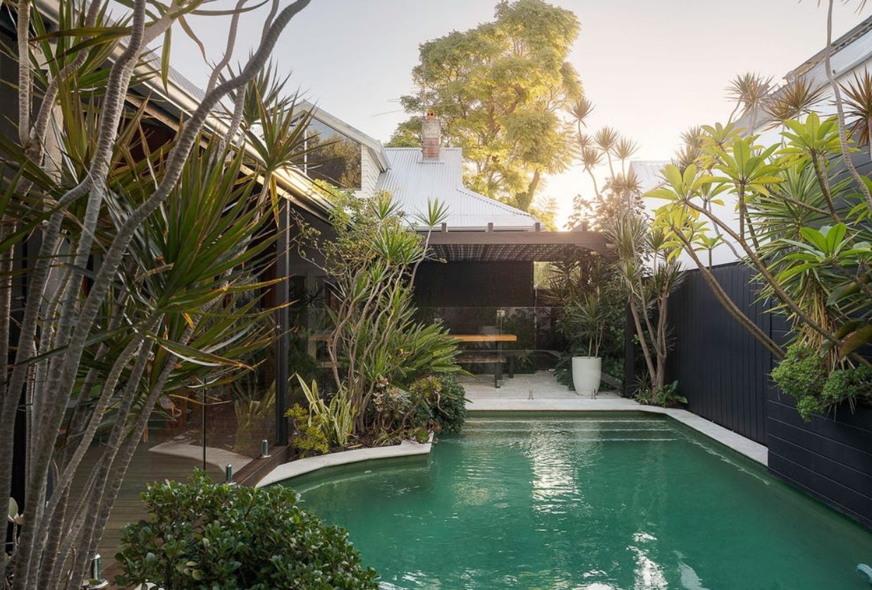
Along the Swan — South Perth, Applecross, Como, Nedlands and Claremont — you get river views, established trees, excellent schools and quick access to the central hospital campuses. North of the CBD, Mount Lawley, Highgate, Leederville and North Perth are the character suburbs: 1920s bungalows, café strips, and the closest thing Perth has to inner-city life.
Fremantle and the south
Fremantle is a distinct proposition — a working port with limestone heritage buildings, markets, pubs, an arts scene and a strongly independent character. Around it, South Fremantle, Beaconsfield and White Gum Valley have become the west’s most characterful and least suburban pocket, with the southern hospital campuses close by. Further south the coast continues through Coogee and Rockingham toward Mandurah, an hour out and served by the southern rail line.
The hills and the corridors
Kalamunda, Mundaring and the Perth Hills give you semi-rural life, cooler air, real trees and space — thirty to forty minutes from the city, with the fire-season responsibilities that come with living on a bush fringe. In the other direction, the northern and southern growth corridors along the rail lines offer the newest and most affordable family housing in the metropolitan area, with their own hospitals and a longer but rail-served commute.
The comparison
| If you want… | Consider | Because |
|---|---|---|
| The beach at the end of the street | Cottesloe, City Beach, Trigg | The coast, the breeze, the sunset — at a price |
| Beach life with family value | Scarborough, Sorrento, Hillarys | Newer housing, surf clubs, north of the river |
| River, schools and the campuses | Nedlands, Applecross, South Perth | Established, leafy, minutes from tertiary work |
| Café strips and character | Mount Lawley, Leederville, Highgate | The closest Perth gets to inner-city living |
| Somewhere with its own soul | Fremantle and around it | Port heritage, markets, arts, southern campuses |
| Space, trees and cooler air | Kalamunda, Mundaring | Semi-rural hills — and fire-season planning |
| Maximum affordability | The rail corridors, north and south | Newest housing, own hospitals, train commute |
Renting itself — applications, bonds, rights — works the same across Australia and lives once in Living in Australia. Perth-specific: rents move with the resources cycle, so ask locals what the market has done in the last year, and check how far inland you are before assuming the sea breeze reaches you.
- How far inland is it, and does the afternoon sea breeze reach? It is worth several degrees.
- What is the commute to your campus — and is there a train line, or is it car-only?
- Air conditioning: what kind, and how does the house handle a run of 38-degree days?
- If you are looking at the hills: what is the bushfire rating and the evacuation plan?
- Is it in the school catchment you need? Zones are checked by address.