
Before the practical chapters, orientation. Perth is unusually simple to read: a long, narrow city on a coastal plain, organised by the ocean on one side, the river through the middle, and the Darling Scarp rising behind it.
How the city is laid out
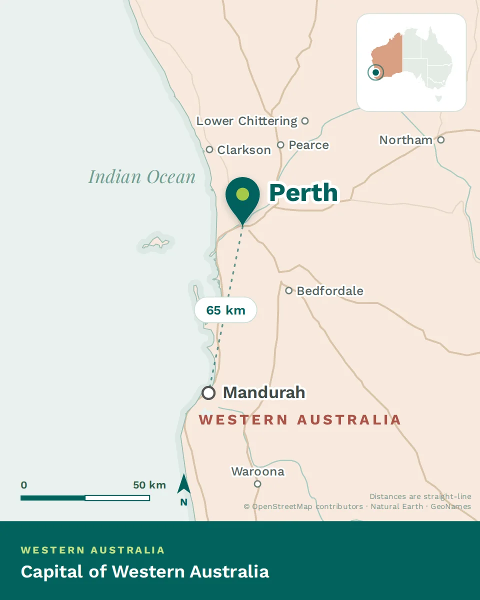
The river and the centre
The Swan River — Derbarl Yerrigan — widens through the middle of the city, and the CBD sits on its northern bank with Kings Park on the escarpment above. South Perth faces it across the water; Elizabeth Quay and the foreshore have reconnected the centre to the river over the past decade. The main tertiary hospital campuses sit close in, on both sides of the river.
The coast
North and south of the river mouth, the beach suburbs run for a hundred kilometres: Cottesloe, Scarborough, Trigg and City Beach in the middle, Hillarys and Sorrento further north, Fremantle at the river mouth with its port, its heritage buildings and its own distinct identity. The sea breeze reaches these suburbs first, which is why they cost more.
Inland and the hills
East of the coast the plain runs flat for twenty kilometres before rising into the Perth Hills at Kalamunda and Mundaring — cooler, greener, semi-rural and popular with families who want space. Between them sit the middle suburbs and the eastern corridor toward the airport, plus the Swan Valley’s vineyards twenty-five minutes from the city.
A Mediterranean year
Hot, dry summers and mild, green winters — the same pattern as southern Europe, and the reason the wine regions work. Summer runs long and cloudless with serious heat, softened on the coast by the afternoon sea breeze known as the Fremantle Doctor. Winter is short, wet and mild; you will want a jacket, rarely a coat. Spring brings the wildflowers the state is famous for.
Two practical notes. Air conditioning is essential inland and useful everywhere — the difference between a coastal suburb with the sea breeze and one twenty kilometres east is several degrees on a summer afternoon. And take the fire season seriously in the hills and on the urban fringe; the warnings are precise and worth following.
The clock, and the flight map
Western Australia runs on UTC+8 with no daylight saving — two hours behind Sydney in winter and three in summer, which makes east-coast meetings and family calls a daily consideration. The upside is that Perth shares a clock with Singapore, Hong Kong and much of Asia, and flies direct to South-East Asia in around five hours, with direct services to Europe. For clinicians with family in Asia, Africa or the UK, the flight map from Perth is often better than the east coast’s.