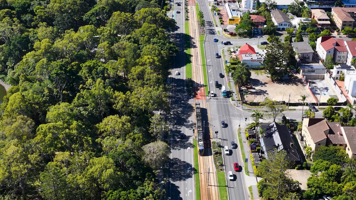
The Gold Coast is easier to get around than its sprawl suggests, as long as you understand which parts of it the light rail reaches.
Getting around the coast
Driving
Essential for the hinterland and the western growth corridor. The M1 to Brisbane is famously congested on weekends and public holidays.
G:link light rail
Runs the length of the coastal strip and has extended further south over time — useful if you live and work near it.
Heavy rail
Connects the coast to Brisbane in around an hour, making the capital commutable for some.
Gold Coast Airport
At Coolangatta, with domestic and trans-Tasman flights; Brisbane Airport covers the wider international network.
The G:link light rail along the coastal strip.How far everything is from the strip
Typical off-peak times from the central coast, to scale against each other. The light rail covers the first row; everything below it needs a car or a train — and the marked row is the one that decides whether Brisbane counts as reachable.
Along the stripEnd to end on the G:link, which is why the strip is the one part of the coast you can live in car-free
~20 min
Gold Coast AirportCloser than most capitals manage — a real advantage for trips home
~30 min
The hinterlandSpringbrook, Tamborine and the rainforest — a car, not a tram
~45 min
BrisbaneRail, not the M1 — the reliable version of this journey
~1 hour
Brisbane AirportThe long-haul option, and the reason the drive north is worth timing
~1 hr 30
Indicative off-peak times. The M1 north is famously congested on weekends and public holidays — the rail line is the reliable version of that journey.
Sophie’s tip
If you can live and work near a light rail stop, do — it changes daily life here. If your role is in the hinterland or the western suburbs, budget for a car as a certainty, not an option, and avoid the M1 on long weekends if you can.