

Geelong is easier to understand once you see it as a bay city that turned to face the water again. Almost everything about it — the waterfront, the wind, the way the suburbs spread — follows from Corio Bay.
The shape of the place
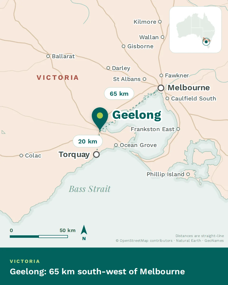
The city centre sits at the northern edge of Corio Bay, with the Barwon River running through the southern suburbs before reaching the sea at Barwon Heads. The Bellarine Peninsula extends south-east from the city, and the You Yangs — a granite range visible from most of Geelong — rise to the north-west.
What that means in practice: the inner suburbs and the waterfront are compact and walkable, the growth corridor runs south toward Armstrong Creek, and the Bellarine towns give you the coast with a commute attached.
The seasons
Geelong’s climate is temperate and coastal, with more wind than Melbourne and slightly less rain than the hills further south. The difference between a still day and a blustery one can be the difference between a beach day and an indoor one.
How the city got here
What is here that you would not expect
- Victoria’s only tertiary hospital outside Melbourne
- Two Deakin University campuses, one on the waterfront
- The National Wool Museum, in a former woolstore
- A working seaport still handling grain and fuel
- One of the AFL’s most fiercely supported clubs
- A heritage carousel and painted bollards along the promenade
- Cool-climate wine country twenty minutes from the CBD
- The start of the Great Ocean Road at the edge of the municipality
A bay city that built its wealth on wool, spent a century on heavy industry, and has spent the last fifteen years turning back to the water. Work out whether you want the inner city, the growth corridor or the Bellarine, and the rest of the map follows.