

Before the practical chapters, orientation. Canberra is the most deliberately planned city in the country: a lake at the centre, a ring of hills and reserves around it, and town centres built to a human scale that, mostly, still works.
How the city is laid out
The lake and the Parliamentary Triangle
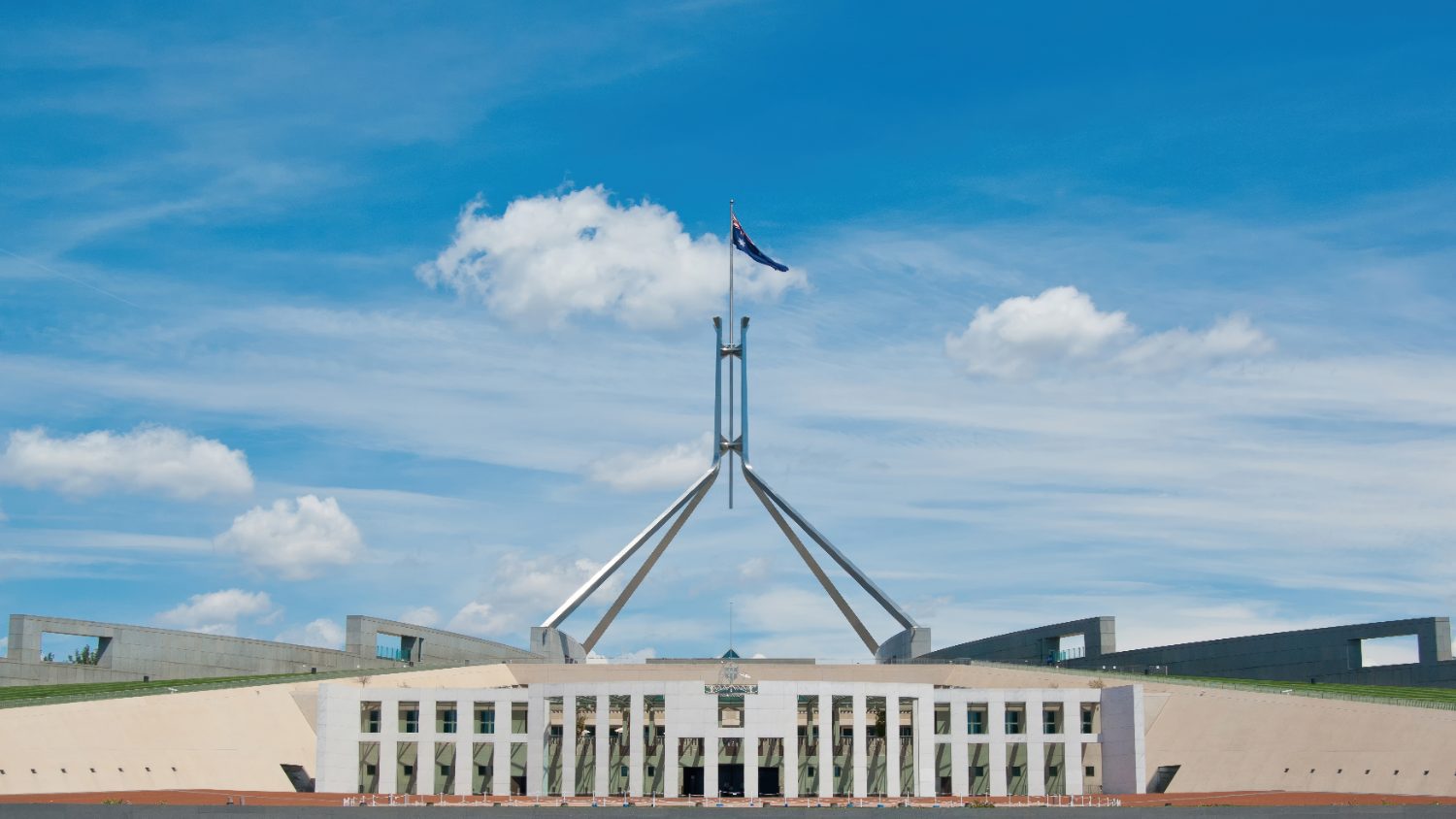
Lake Burley Griffin, an artificial lake completed in 1964, sits exactly where Griffin’s plan put it — the geometric heart of the city. The Parliamentary Triangle runs along its southern shore: Parliament House, Old Parliament House, the national gallery, library, museum and war memorial, all within walking distance of each other and the water.
The town centres
Canberra grew as a series of planned town centres rather than one sprawling suburb: the inner north around Braddon, Dickson, O’Connor and Ainslie; the inner south around Kingston and Manuka; then Belconnen, Woden, Weston Creek and Tuggeranong ringing further out, with Gungahlin and the Molonglo Valley the newest growth areas. Each has its own shops, schools and town square, by design.
The reserves
Namadgi National Park covers close to half the ACT’s land area, immediately south of the city, and Canberra Nature Park threads smaller reserves through the suburbs themselves — Black Mountain and Mount Ainslie sit inside the built-up area, not a drive from it.
Four real seasons
Unlike the coastal capitals, Canberra runs a four-season continental climate — warm to hot, dry summers and cold, often frosty winters, more extreme in both directions than Sydney or Melbourne despite sitting between them. Spring brings Floriade and the blossom; autumn, thanks to the deciduous exotic trees planted through the original plan, is the most photographed season in the country.
Two practical notes. Frost is a morning routine for much of winter — scraping a windscreen is normal, and older rentals can be draughty, so check heating before you sign. And the dry heat of summer brings real fire-weather days each year; take total fire ban warnings seriously.
The diplomatic city
Roughly ninety countries base an embassy or high commission in Canberra, concentrated in Yarralumla, Forrest and O’Malley, and the result is an international community the city’s size doesn’t advertise — international schools, cultural events, and a broader mix of restaurants and communities than the population alone would suggest.
Getting in and out
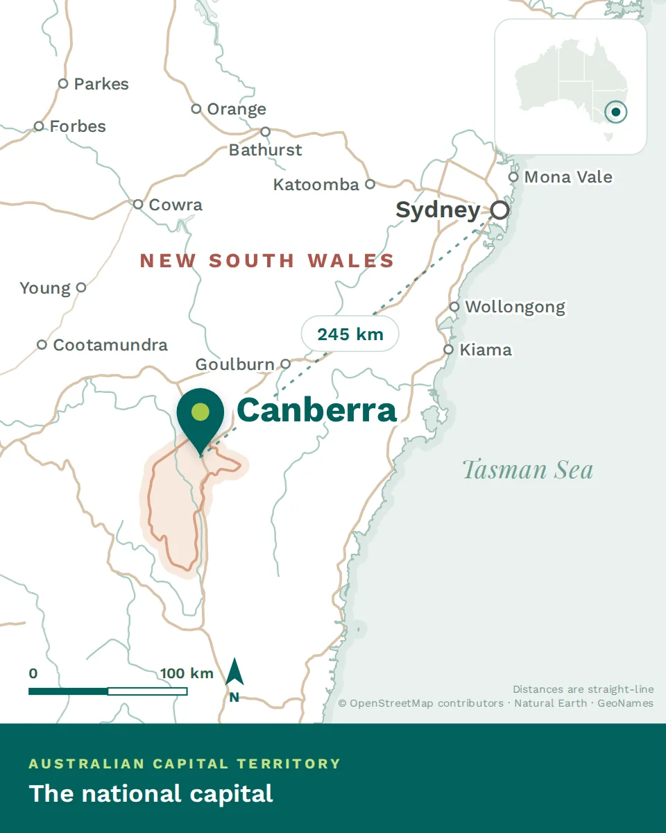
Canberra Airport sits a few minutes from the Parliamentary Triangle and flies direct to every mainland capital, plus a small number of direct international services; most of the rest of the world connects through Sydney or Melbourne, a short hop away. The drive to Sydney takes around three hours, to Melbourne about seven.