
Bunbury is easier to understand once you see that it is built on a peninsula between three bodies of water. Almost everything about the city — where people live, which beach they use, how long anything takes — follows from that.
The shape of the place
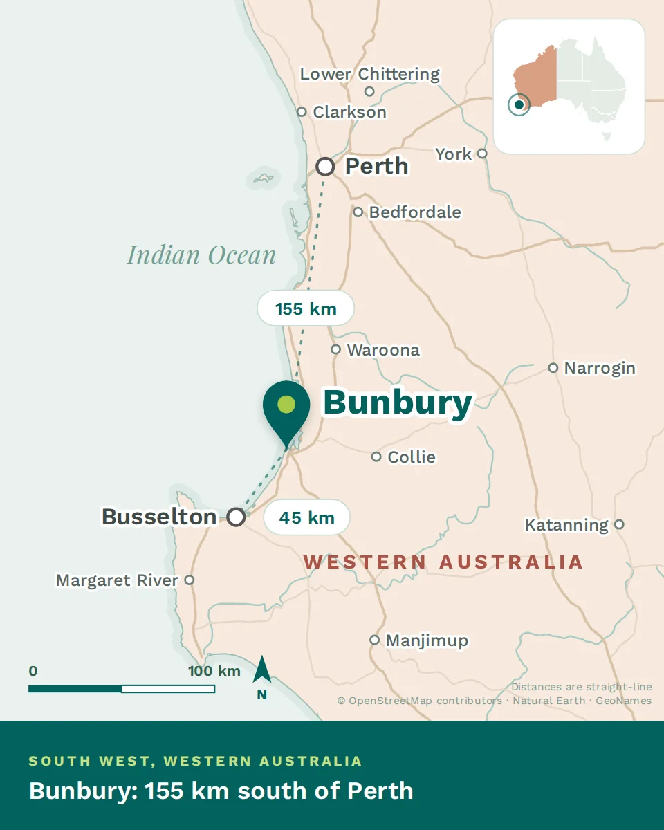
The city sits on a spit of land with the Indian Ocean on its western side, the sheltered water of Koombana Bay to the north, and the Leschenault Estuary running behind it. The centre is compact and walkable, the port sits on the bay, and the suburbs spread south along the coast and north across the estuary.
What that means in practice: your side of town determines your water. West means surf and wind. North means flat water and the port. Inland means the estuary, which is where most of the newer family housing has gone.
The seasons
This is the wet, green corner of Western Australia, and the difference from Perth is bigger than the two-hour drive suggests. Summers are hot, dry and long. Winters are cool and rainy — not cold by European standards, but wet enough to reshape your weekends from June to August.
How the city got here
What is here that you would not expect
- A regional referral hospital serving the whole South West
- A university campus, with health among its programmes
- A purpose-built regional theatre and entertainment centre
- The only PET service in the South West
- A farmers’ market people drive an hour to reach
- A resident wild dolphin population in the middle of town
- Wine country thirty minutes inland
- An art gallery in a converted convent
A compact port city on a peninsula, two hours south of Perth, wetter and greener than the capital, with a referral hospital and a university that a city of 75,000 would not normally carry. Work out which water you want to live near, and the rest of the map follows.